Introduction
I heard about this place while exploring Quarry Hills Park, and could not resist visiting just because of what it’s named. On the whole it was not a disappointing hike at all.
Don’t expect to have much in terms of a lookout or vantage point. More of a peaceful, relaxing and serene kind of vibe.
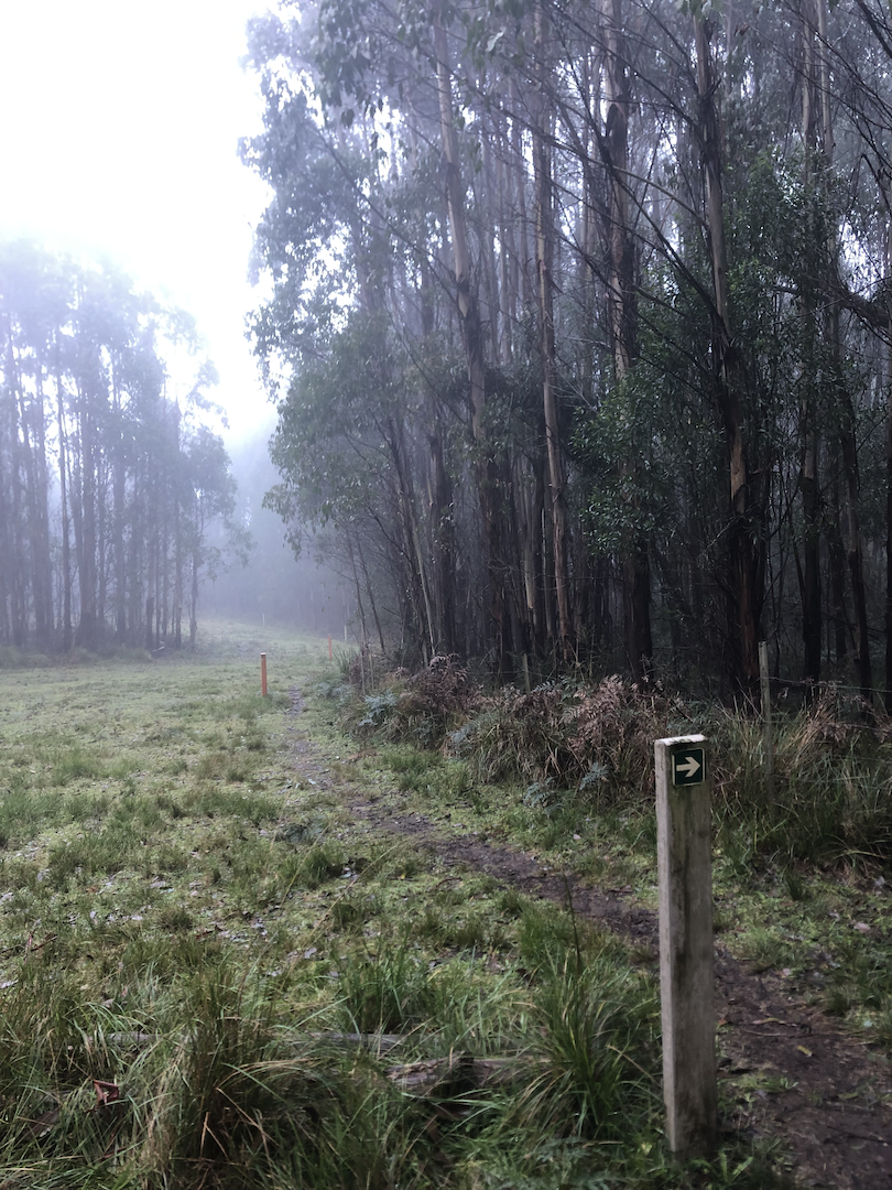
Weather was a little rainy just before I arrived, so the ground was muddy. But even then the ground wasn’t slippery enough to be an issue for me.
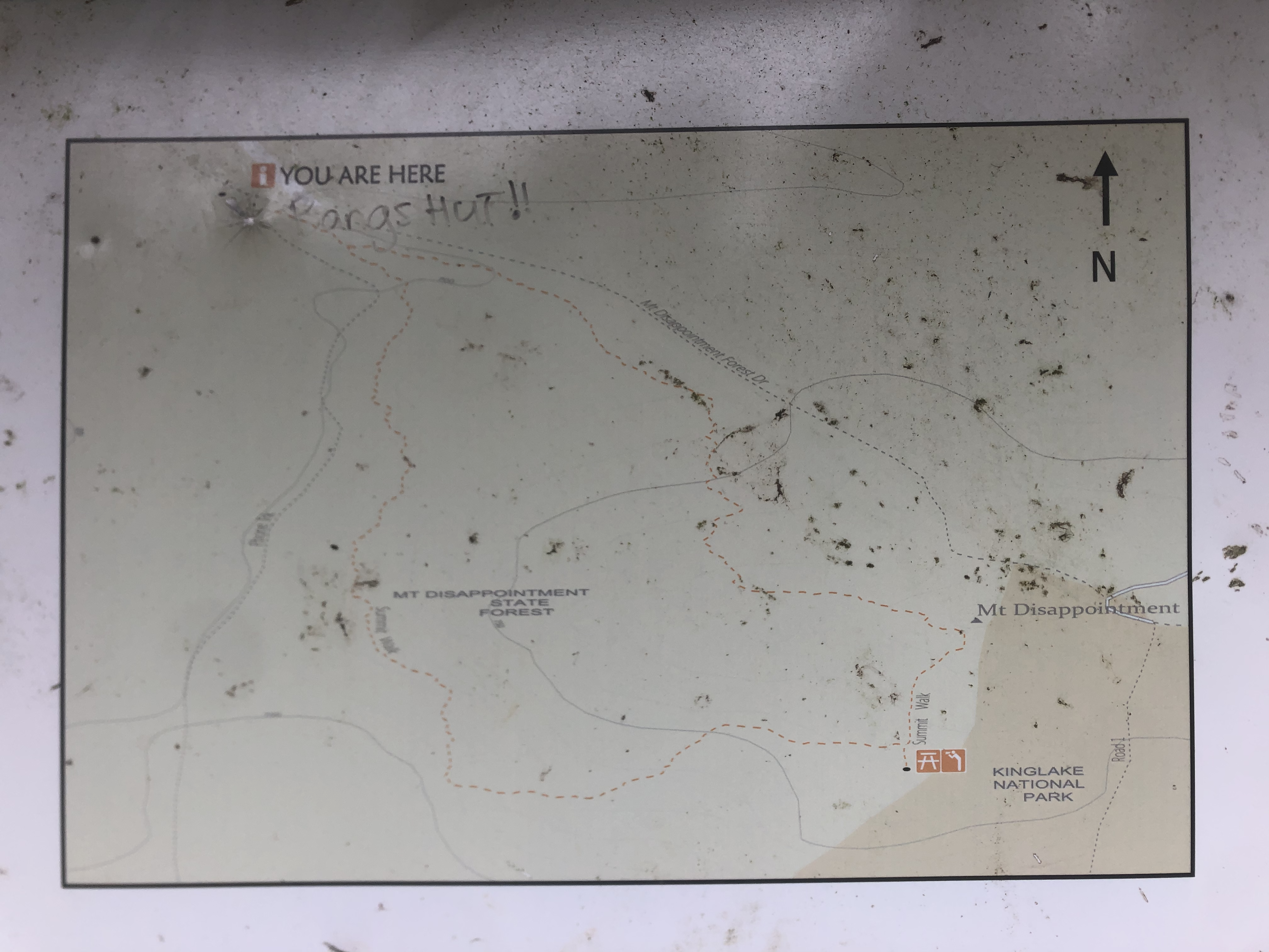
Official Onsite Map (Actual Photo)
It’s not visible on the map anymore, but the road in ends at the top left, at Blair’s Hut.
Tips
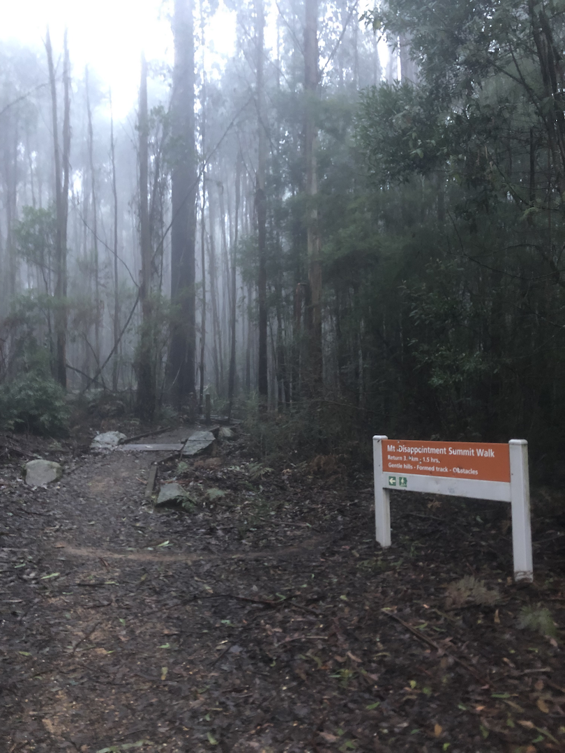
Importantly, the RAAF memorial that everyone else is talking about is not the summit. Not sure why I got confused about that. The set of pictures below should explain this better.
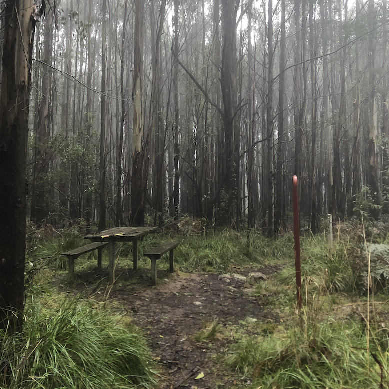
This bench and information signage is as close to the summit as I managed to get, at least according to the onsite map.
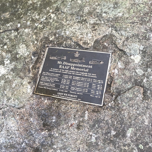
The memorial itself is a plaque that looks like this. If you are doing the route clockwise, you will see this after a relatively short downhill hike from the summit in the previous image.
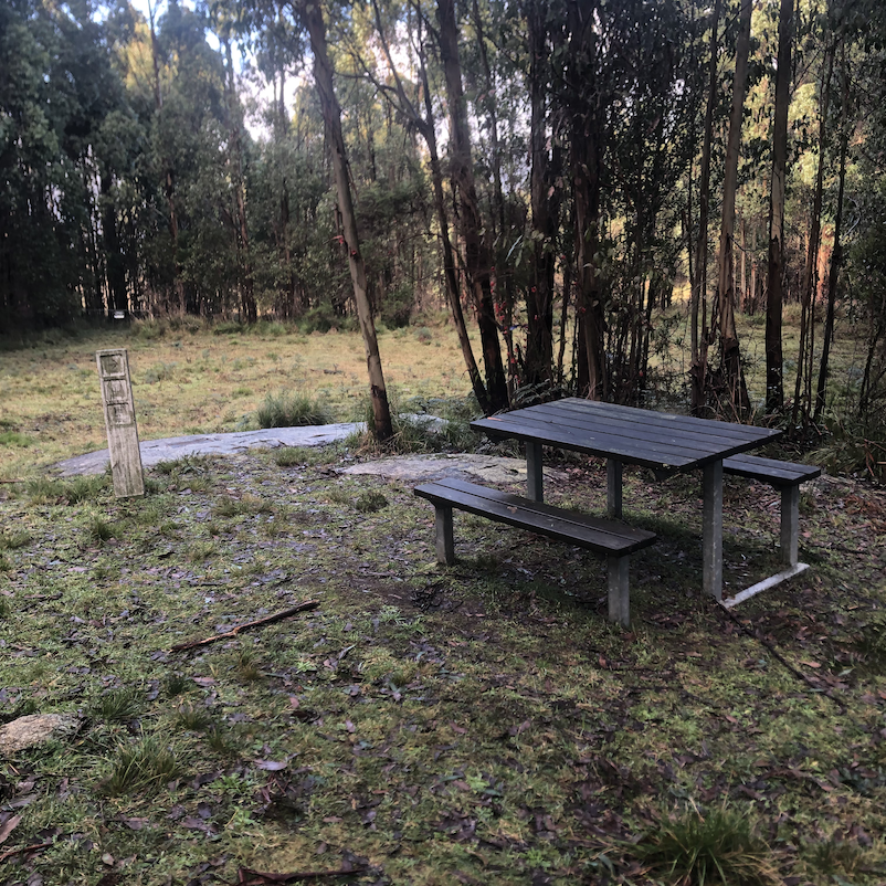
Here is what it looks like if you do the clockwise trail. The plaque itself is on that rock at the back. The ribbon-y deco that other sources provide a picture of is actually what it looks like from the opposite side of the clump of trees behind the bench.
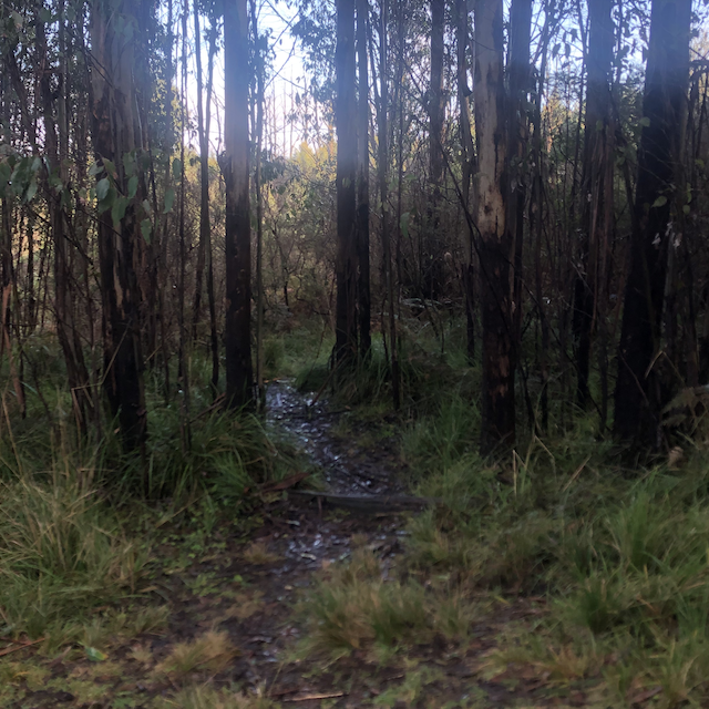
To keep from going the wrong way, while facing the bench from the previous photo, look to your right. You will see this opening. This is the path back onto the trail loop. If while hiking you see a sign that says “Road 1”, you have already strayed quite far from the official circuit.
Bigger pro tip: If you haven’t already, go check out the Google Maps reviews for Mount Disappointment. I got quite a chuckle out of them for sure.
Good hiking!
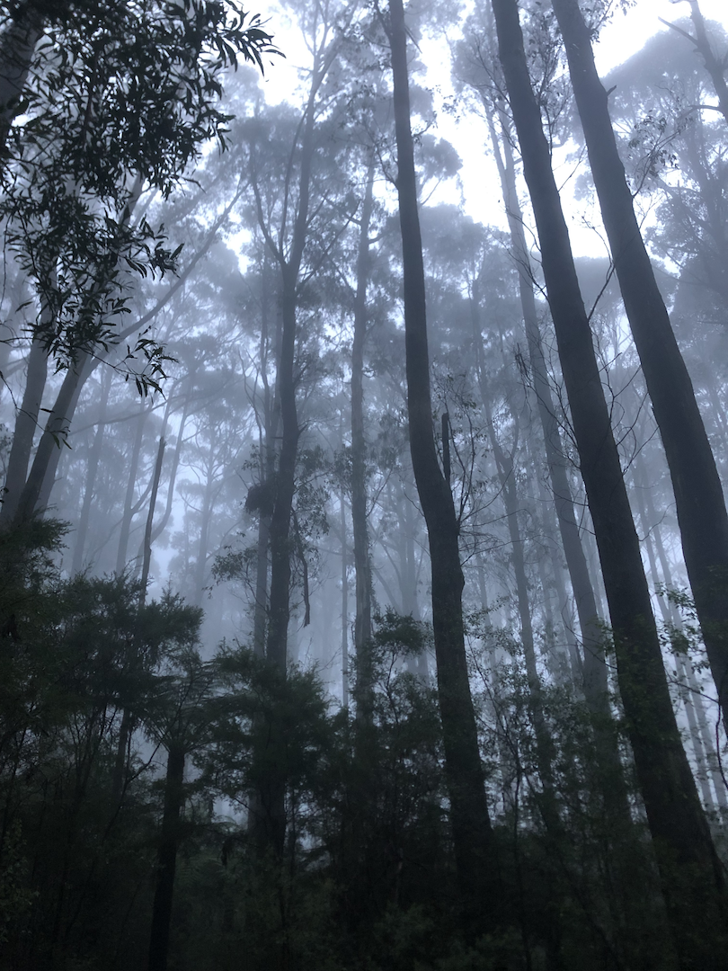
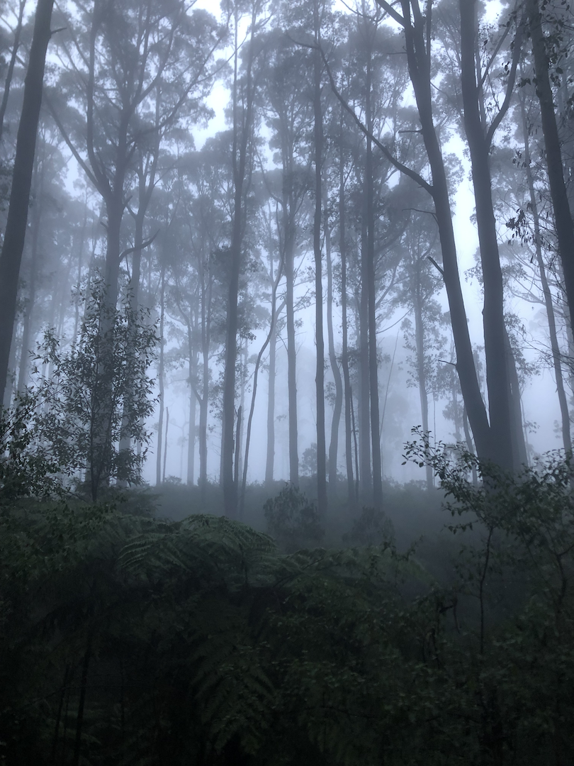
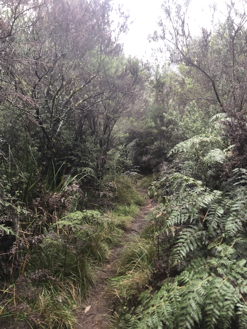
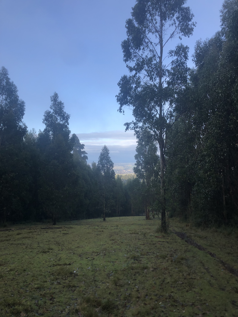
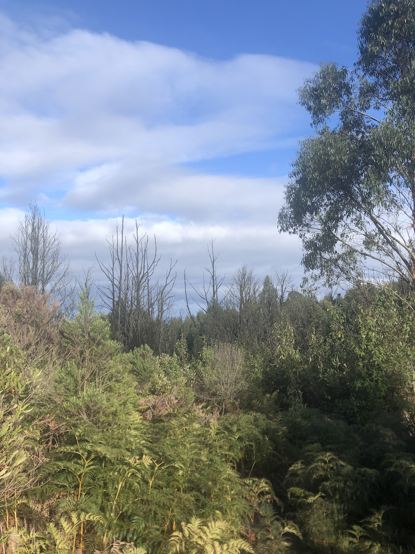
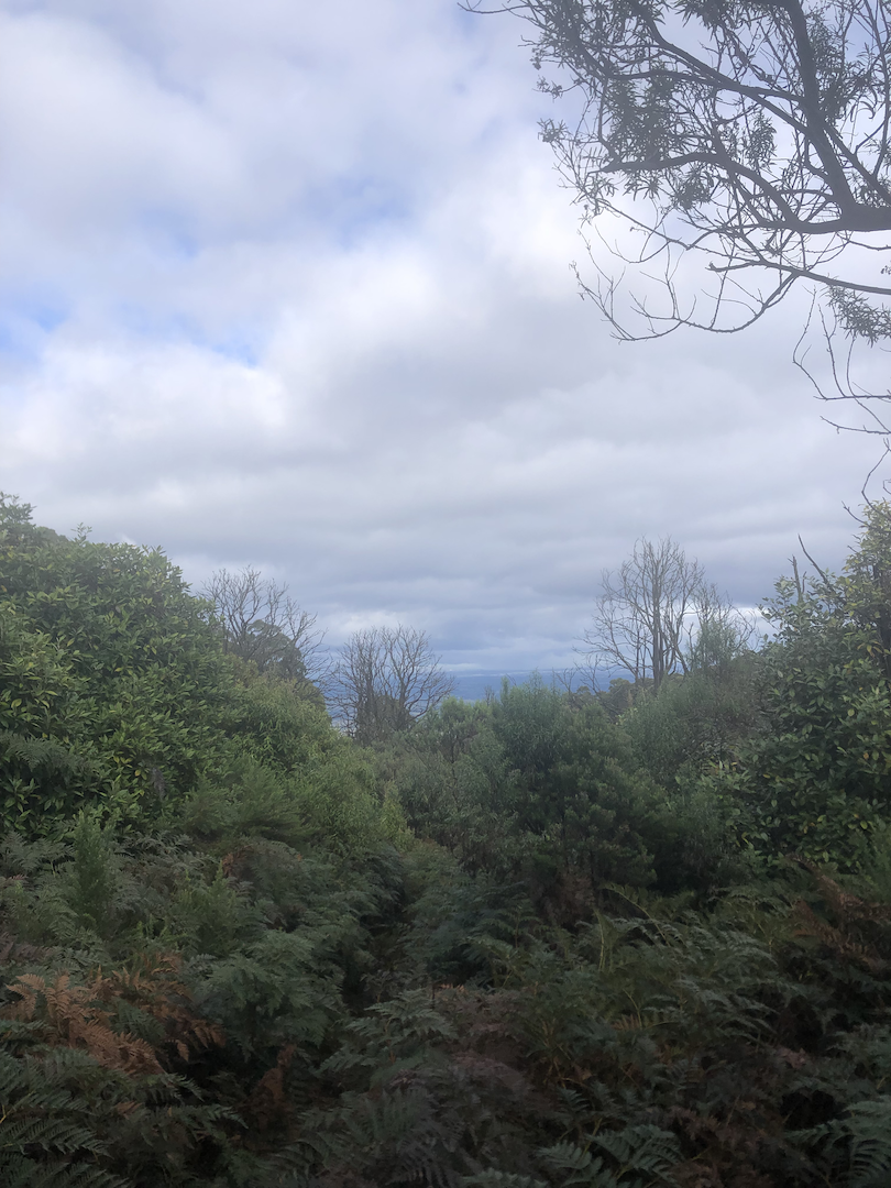
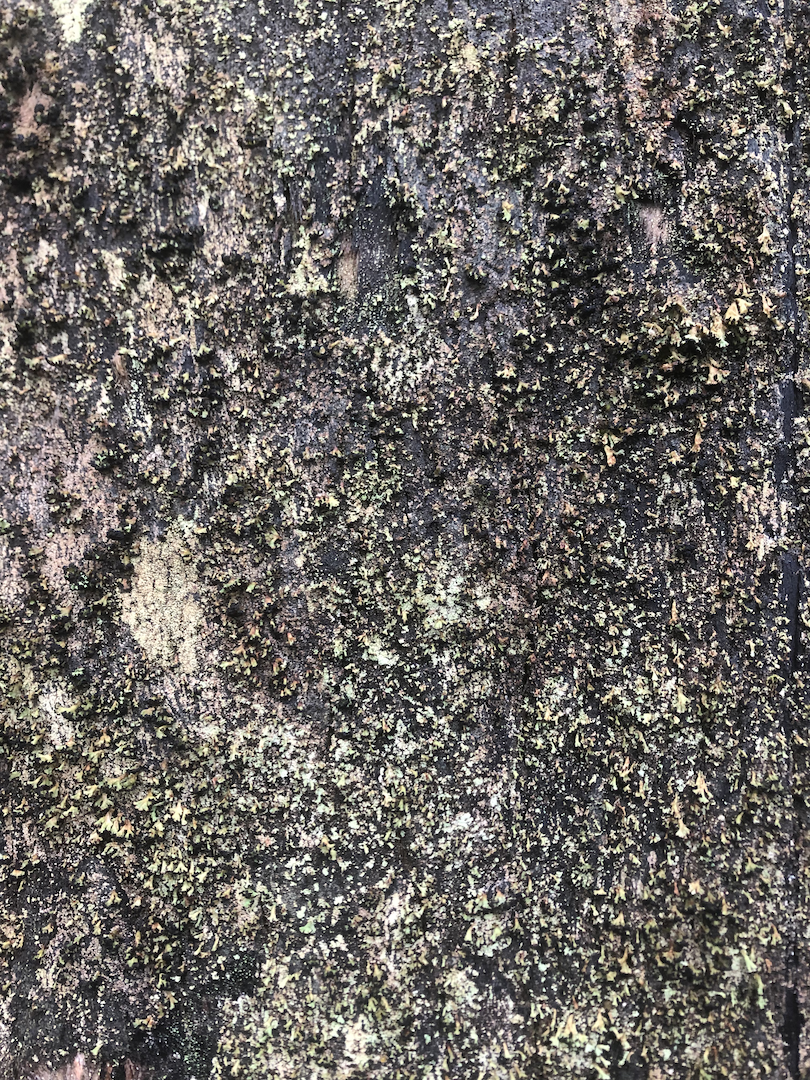
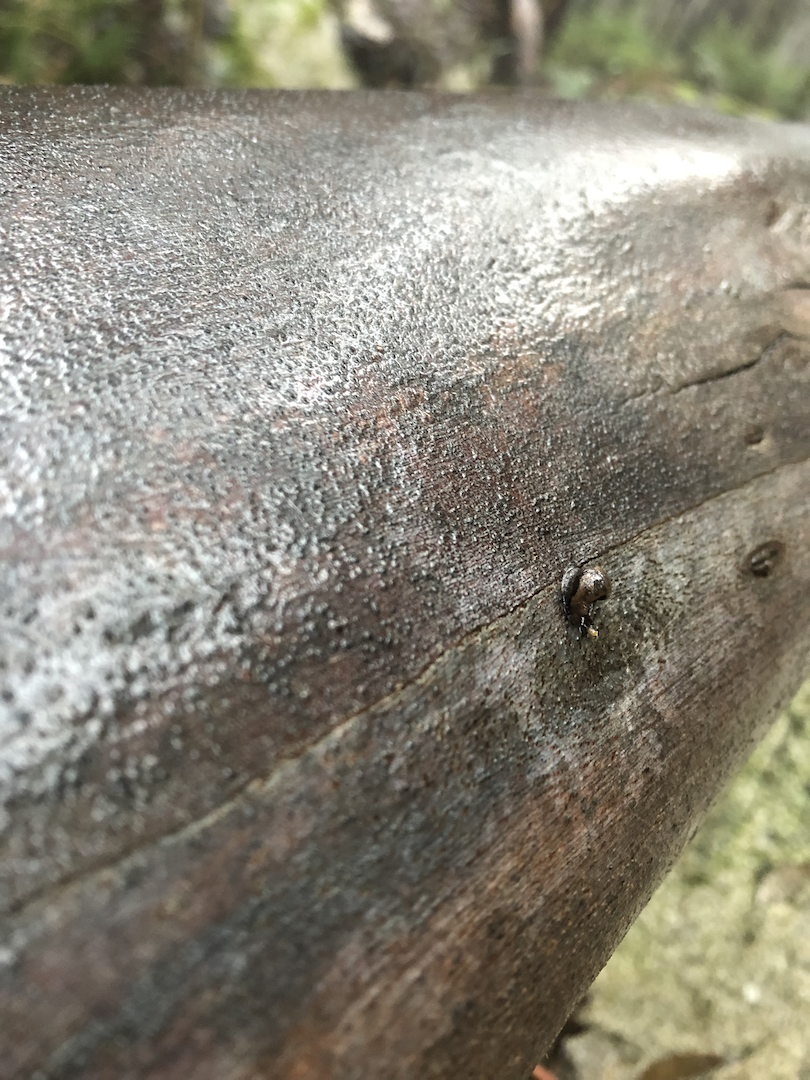
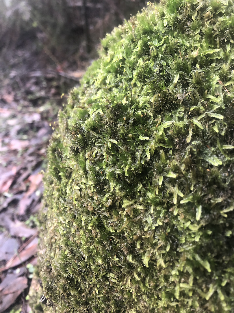
Some Photos